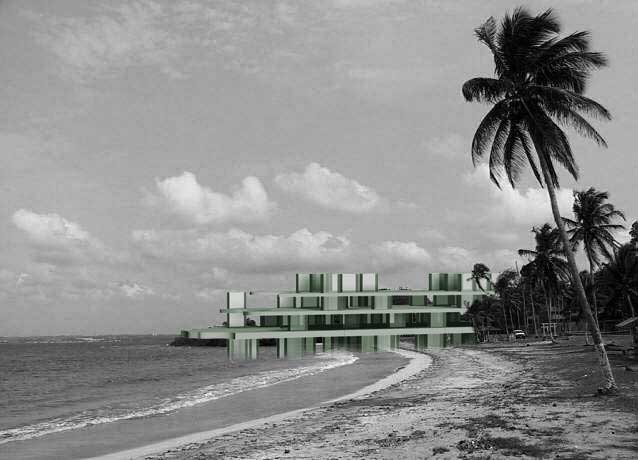
A serious problem facing society, global warming is slowly deteriorating our planet, warming the seas, and causing dangerous increases in the overall sea level. Carbon dioxide pollution is one of the leading causes. Through extensive research, targeted areas were found to be killing themselves: regions that are facing immediate dangers of lost land to the sea as well as one of the leading producers of carbon dioxide emissions. The regions must combat the process or face extinction.
See previous posts for images
SITE ANALYSIS
Several of the regions face greater risks due to the effects of global warming due to their increasingly large population and industrial centers. After the East coast of the United States was identified as one of these regions, the Chesapeake Bay area was found to be one of the largest ports and centers of international trade and economics, as well as known to be experiencing twice the normal rise in sea level. With the location of important ports and other coastal regions at a relatively low elevation, Norfolk, Virginia was chosen as the site of further analysis. A number of problems were identified as a direct result of global warming and potential flooding.
PROBLEMS [In addition to flooding]
Infrastructure & Need to maintain Port Access
Displacement of People & Industry
Need to expand Green Space for absorption of CO2
 Elevation: determines the land lost
 Green Space: needs to increase for CO2 reduction
 Housing Concentrations: areas of possible future displaced residents
 Design Analysis: rectangular boxes show port locations and shaded white regions show area to remain after 250 years
PROPOSAL
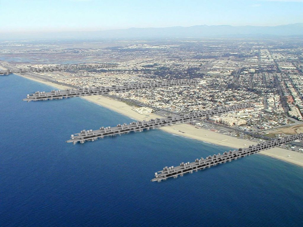
Based on the research and analysis, a system of dams were developed as a means of creating wetlands to allowing for CO2 absorption and a means of controlling the rising water. The master plan over time through a series of phases, incorporating new construction as well as accommodating for the continued increase in water. The number one problem was water control which led to the development of linear dams. One of the first effects of global warming will be the initial flooding of the ports and infrastructure and presents the challenge to maintain them. The dam system is designed to permanently connect the current ports and channels to mainland at a safe elevation as show in the image below. By incorporating existing highways as shown, the plan maintains of existing infrastructure and minimizes disturbance. The phases are described in more detail below.
Phase I
Water rise to 5m
Construction of main linear form: road above, dam beneath along major highways
Suggested construction can utilize shipping containers already on site

Phase II
Water rise to 10m
Construction of secondary dams: natural in construction to replenish natural areas

Phase III
Water rise to 15m
Construction of other program: refugee housing, displaced people
Alternative program installed adjacent to linear infrastructure

Phase IV
Water rise to 20m
Additional program grows from linear form to incorporate displaced industry
System of dams becomes the ribs and backbone for the community

Four Vignettes showing the MegaDams: (1) Original Site (2) Installation of Dam & Infrastructure (3) Sea Floods region closet to Sea (4) Installation of Secondary Dams & Green Space